Jarrod Miller, Extension Educator, Somerset County
Pesticide drift and pesticide volatility have been in the news a lot due to increased use of Dicamba out west. Volatility is a chemical property describing how likely a pesticide will become a gas which can leave your fields and go off target. The best way to control volatility is to choose less volatile pesticides or apply during cooler weather. Pesticides can also move offsite due to drift associated with wind and small, lighter particles. This can typically be controlled through proper nozzle selection and application when winds are less than 10 mph. While wind speed can be easy to determine, another cause of drift, a temperature inversion, is not.
The earth’s atmosphere is typically warmer at the surface (due to the sun warming your fields), and cools 2-5°F for every 1000 feet you climb. As air warms at the earth’s surface, it expands and rises, then cools and falls, giving the atmosphere circulation. This process can produce cumulus clouds and storms, and also move pollutants and smog out of the lower atmosphere. An inversion occurs when a pocket of warm air sits above cooler air at the surface, preventing circulation. On these days, smells of manure application may linger over a region, and also keep pesticide vapors in the air, allowing them to drift on gentle breezes. Inversions can be easy to spot where you have fires or smokestacks, as the smoke will rise so high before flattening out and moving sideways. Inversions can occur high in the atmosphere, and may not affect drift. While you can’t wake up and see inversions as easily as you can measure wind, there are some signs you can follow.
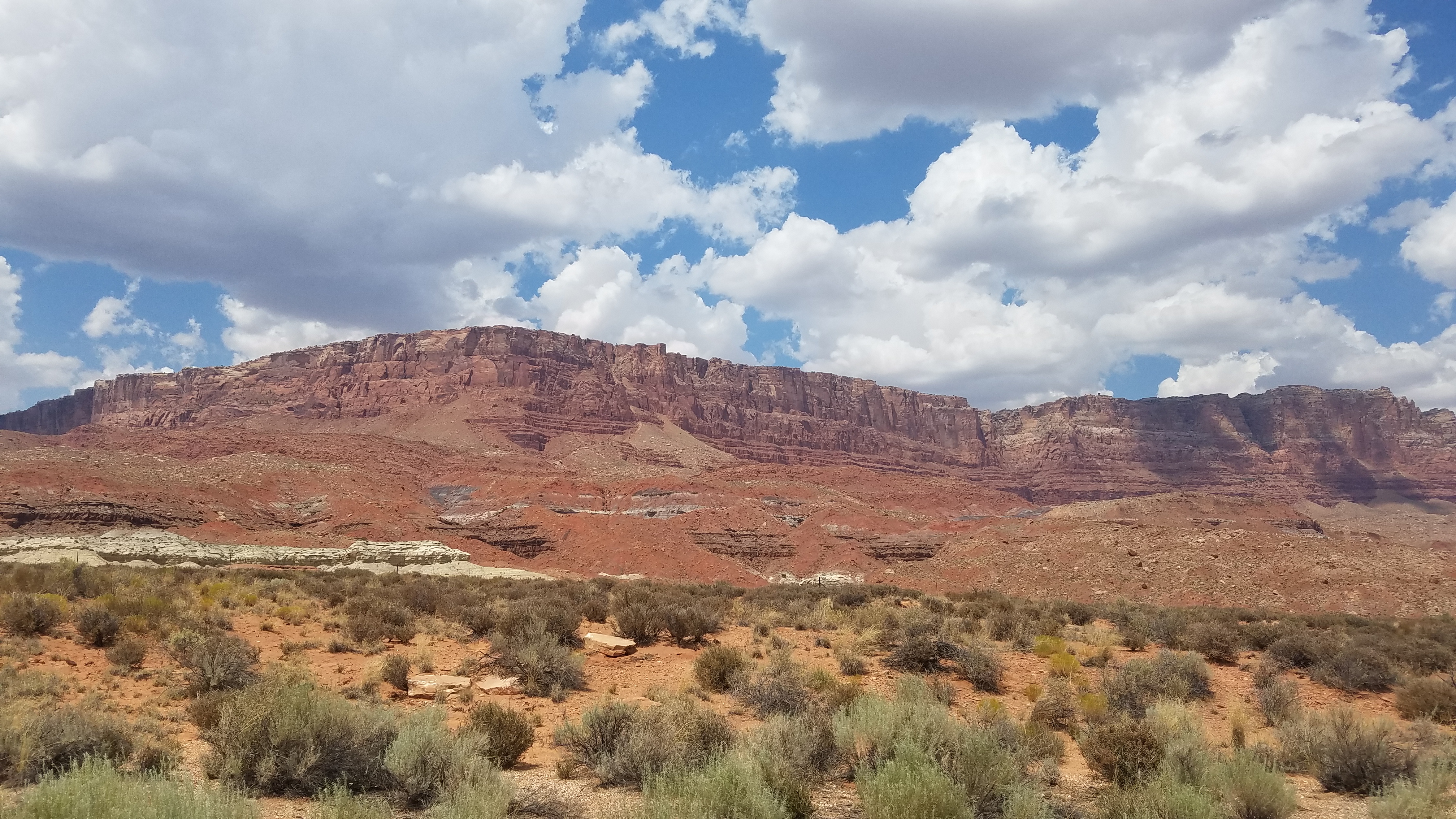
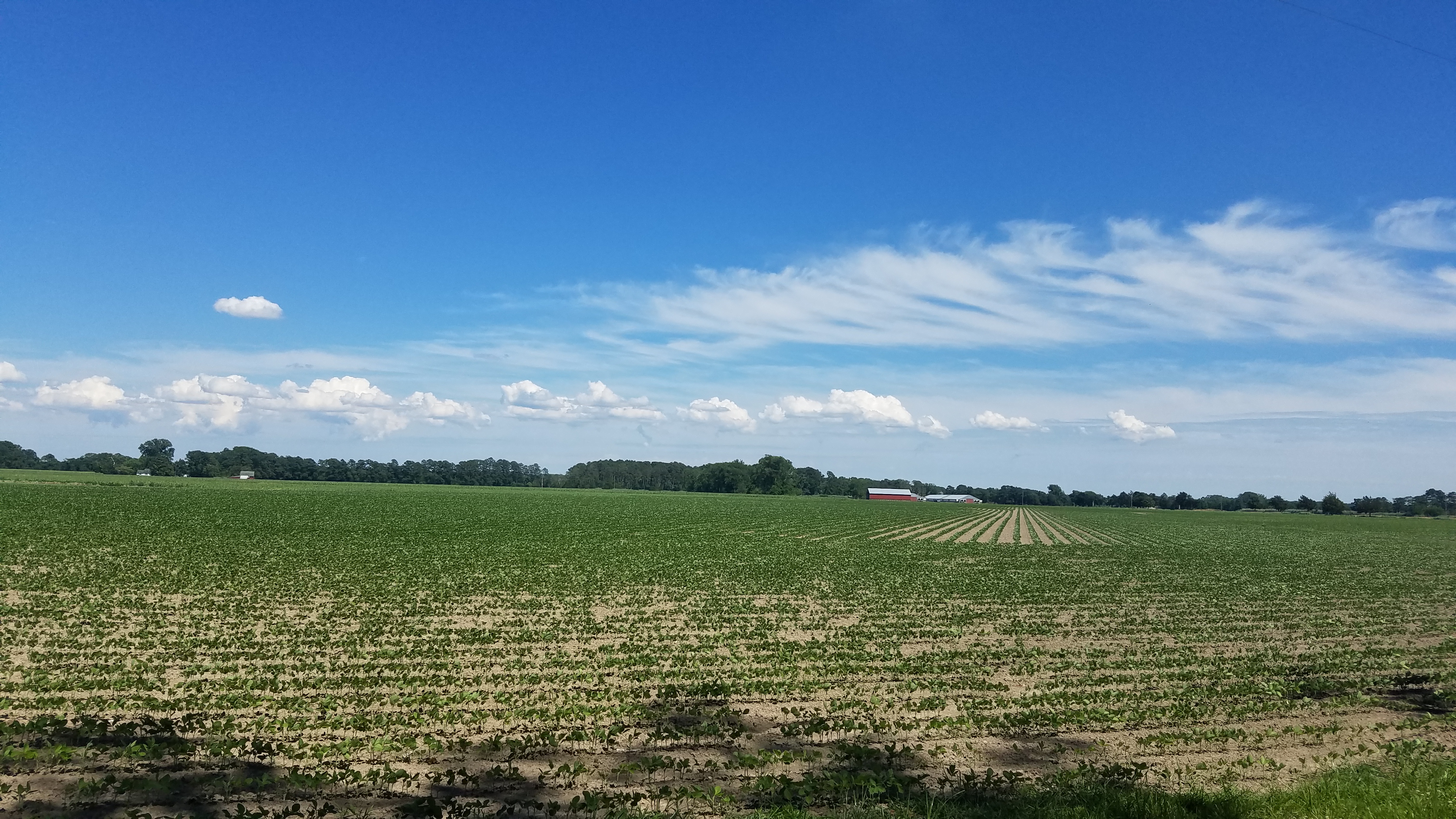
One of the most common times to have an inversion is on clear nights in the summer. As your fields cool at night (through longwave, infrared radiation), the air near the surface becomes cooler than the air above it. Anytime you see stars at night, and have minimal wind, you can expect to have an inversion early in the morning. As the sun warms your fields back up, the atmosphere should gain circulation again, which will be most obvious when you see cumulus clouds in the sky.
Another likely location of an inversion are in valleys, where cool air can drop off mountains in the evening, leaving a cap of warmer air over the valley. Cool air can also move off of water bodies causing inversions until the sun warms the surface again. Both of these situations are likely to result in fog.
Most of the above cases are considered short term inversions, which are dissipated as the sun warms the lower atmosphere again. However, some weather patterns can sit longer, sometimes for days. If you listen to the weather talk about high/low pressure or cool/warm fronts, you can possibly predict an incoming inversion. At least 30,000 feet in the air is where the jet stream flows, and where these converge together, air is forced down creating a high pressure area. High pressure areas create low winds and clear nights, great conditions for an inversion. There are often high variations in night and daytime temperatures associated with high pressure, another factor in creating inversions. Additionally, as air is forced down by converging jet streams, it is compressed and warms, creating a pocket of warm air over cooler surface air. Cooler air at the surface doesn’t necessarily mean it feels like fall, this warmer pocket of air may only be 2°F warmer, but is enough to create an inversion and trap pollutants beneath it.
Low pressure areas occur where the jet stream diverges above us, pulling air up and lowering the air pressure at the surface. They are often associated with clouds, precipitation and minimal temperature variation. Without the sun warming the surface, inversions are less likely on days with low pressure. Cold fronts are associated with low pressure. These air masses are cooler and denser, so they can move below warmer air along the surface. As cold fronts move across warmer landscapes, the air rises and condenses into cumulus clouds, and sometimes severe thunderstorms. Inversions are not likely in these cases. However, some cold fronts are shallow, and could sit under warm air and cause an inversion.
Warm fronts are less dense and will move over-top of cooler air masses. As they rise over cooler air, they cause higher pressure at the surface. Slower moving than cold fronts, warm fronts will have more stable air, and longer, less severe rainfall. It is these slower moving warm fronts that may sit longer and cause inversions, which will cause more drift the closer they are to the surface. If you see cirrus clouds high in the atmosphere, it indicates a coming warm front.
To avoid increased drift under an inversion, you can certainly check weather reports on fronts and pressure. Incoming thunderstorms are also a good sign there won’t be an inversion, although you could have high winds. Keeping a few things in mind will help prevent drift onto your neighbors fields and sensitive crops.
Inversions are more likely:
- In the morning, in valleys or near large water bodies after clear nights in the summer (look for cumulus clouds later in the day in indicate good air circulation)
- With shallow cold fronts (typically a cold front with no storms, but I’m not a meteorologist)
- High pressure, warm fronts that linger (Look for incoming cirrus clouds).
Watching for these weather conditions, along with minimal wind and good nozzle section should limit drift off target and minimize stories in the media.
